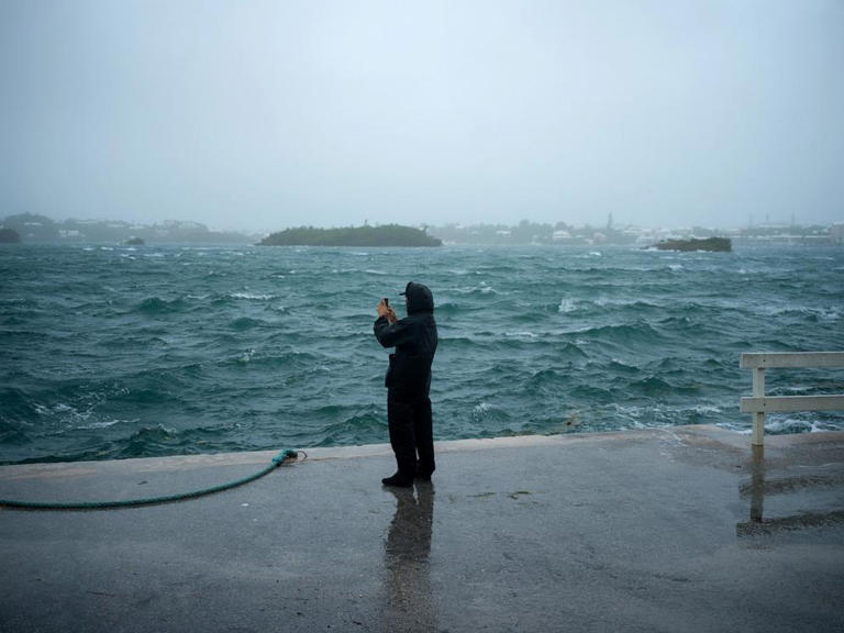
Ernesto has been downgraded to a tropical storm after passing over the Caribbean island of Bermuda as a hurricane without causing major damage.
The storm — which over the past week has caused major power outages and flooding in Puerto Rico and Bermuda — looks set to pass the Canadian coast on its way into the northern Atlantic by the middle of the coming week
.Ernesto is the fifth named storm and the third hurricane of this year’s Atlantic season. It made landfall in Bermuda early on Saturday, dumping 7 to 9 inches of rain and flooding parts of the island. The British Overseas Territory avoided major damage, and Ernesto is now some 200 miles northeast of Bermuda.
As of Sunday morning, Ernesto had winds of 70 mph and was moving slowly — heading north-northeast at only 9 mph — though it is predicted to pick up speed in the course of the day. Increased speed may see Ernesto again cross the 74 mph sustained winds threshold to return to Category 1 hurricane status.
All tropical alerts associated with Ernesto have now expired, with the storm far out at sea. A new tropical storm watch may be issued for southern Newfoundland later today, according to the National Hurricane Center.
But high surf and life-threatening rip currents are still anticipated over the next couple of days along the U.S. East Coast.The entire Atlantic coast from Florida to Maine is under a high risk rip current alert on Sunday.
“Life-threatening surf and rip current conditions are likely,” the National Hurricane Center warned, “which means life-threatening rip currents are likely, and dangerous for all levels of swimmers.”
Ernesto is expected to pass close to southern Newfoundland as a post-tropical cyclone by Monday night.


